Keep coming back here for pics... wtf

You are using an out of date browser. It may not display this or other websites correctly.
You should upgrade or use an alternative browser.
You should upgrade or use an alternative browser.
Big Bend 2015
- Thread starter tx_shooter
- Start date
Got home after midnight from a bonfire. Will get the pics/map posted in the morning.
Taco Loco
Tired and Lazy, married to ‘The Laundry Fairy’
Keep coming back here for pics... wtf
You have to visit Big Bend country to take pictures.
2015 Big Bend Ranch State Park Pictures and info
Park Map link: http://tpwd.texas.gov/spdest/findadest/parks/big_bend_ranch/media/images/map/map_overview_nld.pdf
The Ranger Station at Sauceda has a much better map for ~$7 that is highly recommended for spending time out there.
Getting out there is not horrible; just plan the gas stops and remember to fill up your extra gas cans before you get there. I ended up taking 25 gallons with me for a 5 day trip ( Day 1 arrive, 4 days of exploring, Day 6 we left). I last filled up in Marfa and arrived at the Ranger's Station (on the map as Sauceda) with a half tank of gas.
Day 1 - Saturday, Dec 26, 2015
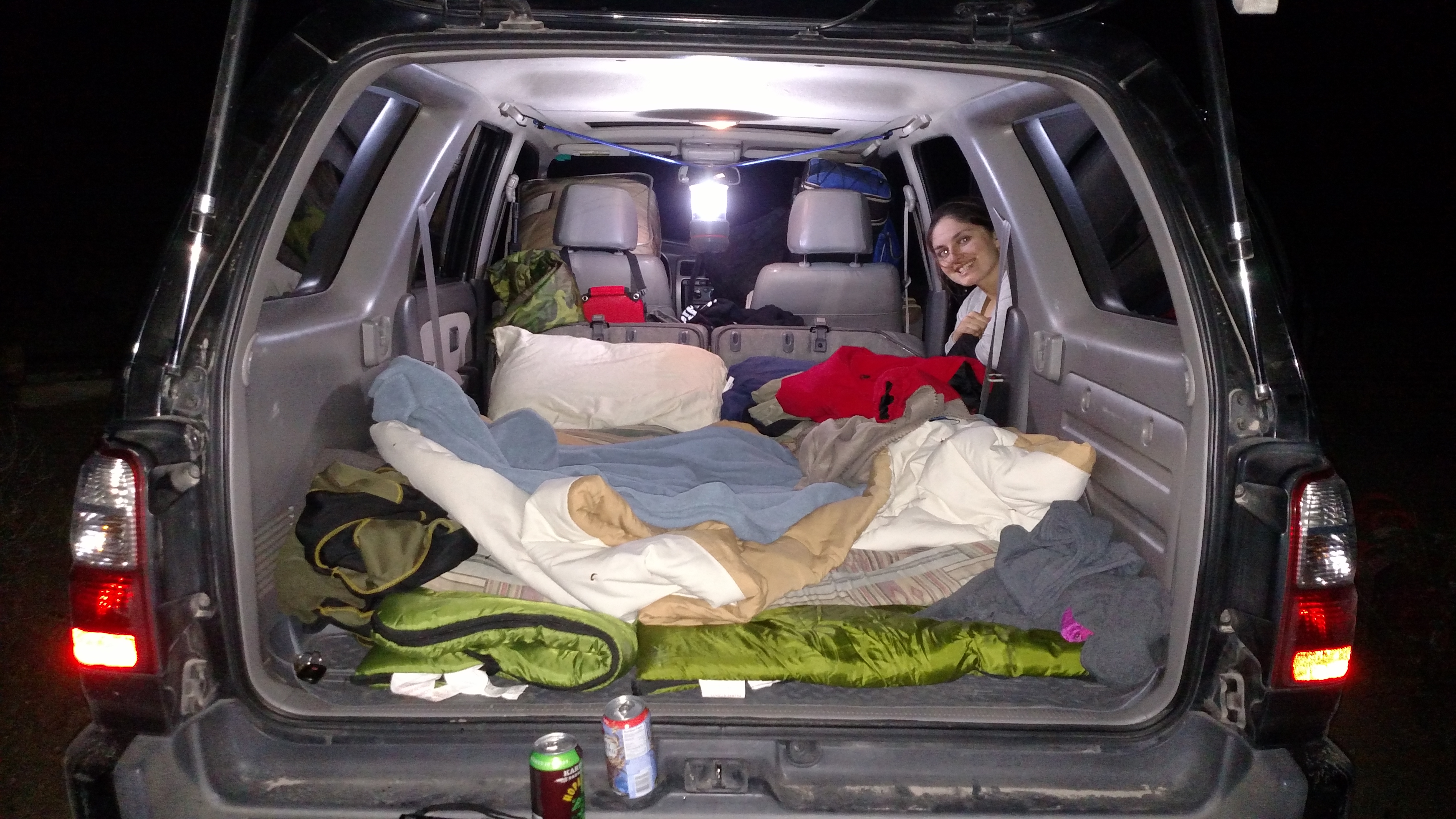
Everyone thought the blizzard was going to stall or die around I-20 so we were not overly concerned about it going to the park and then south of the Ranger's Station to camp. We chose Mexicano 2 as our camp site because our first choices were already reserved and it looked nice on website. We checked in and and hurried to the camp site to beat the bad weather coming in. The winds made it impossible to setup our ez-up tent so we abandoned it for sleeping in the back of the 4Runner. It worked to keep up sheltered and warm - but I need to get the quick release adapters for the back seat bottoms that Sam sent me a link for.
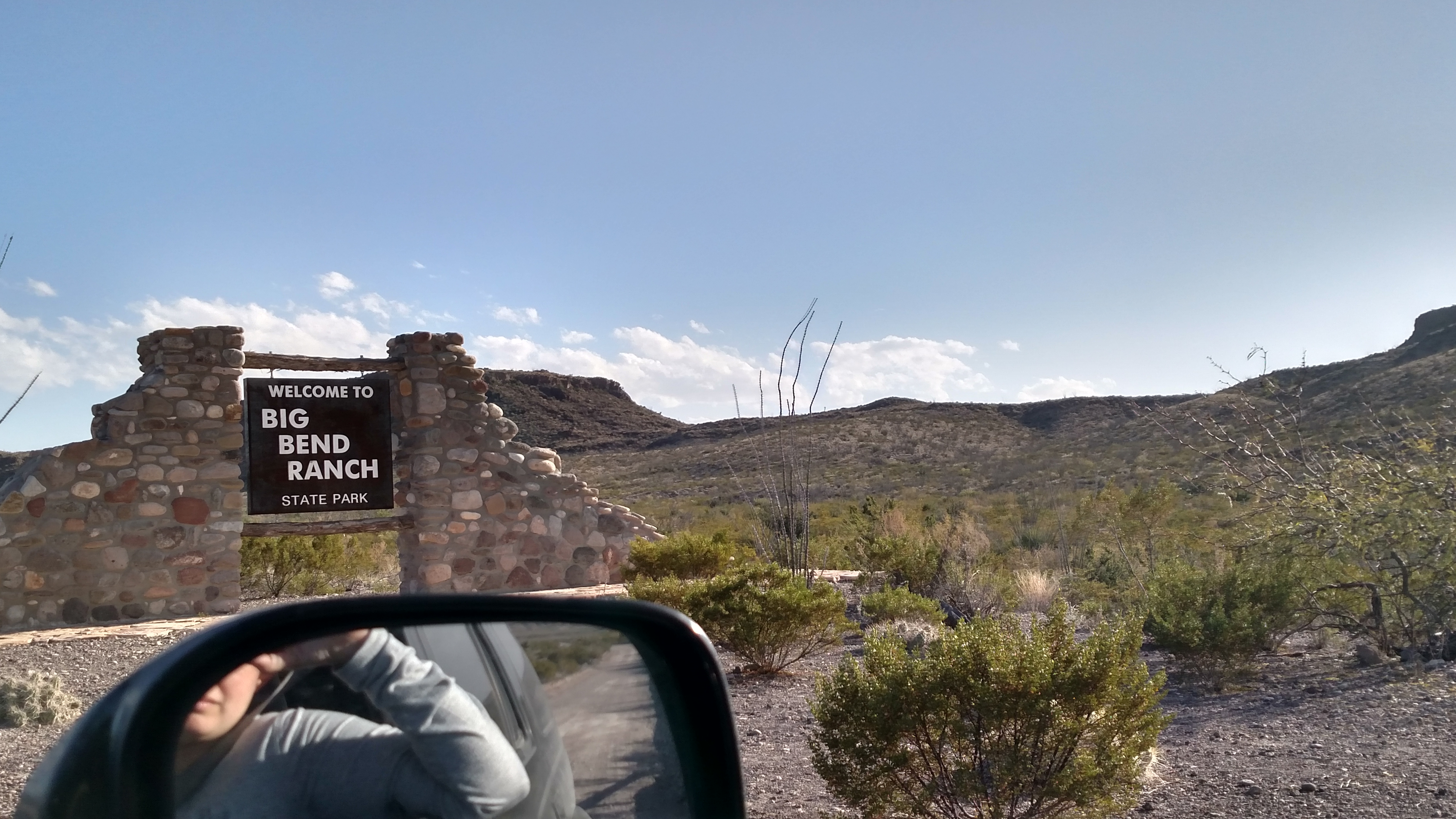
Have to include a pic of the sign
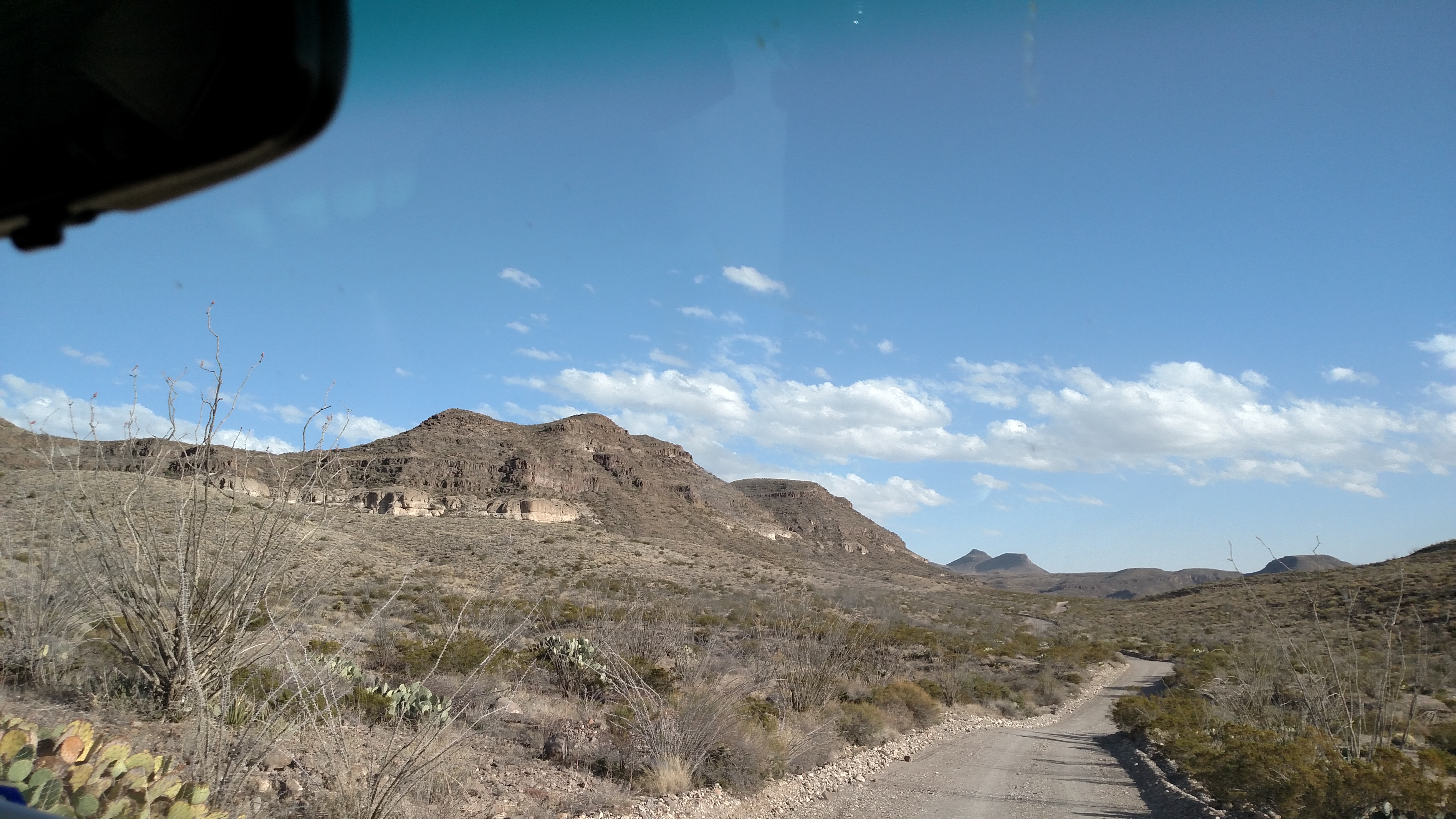
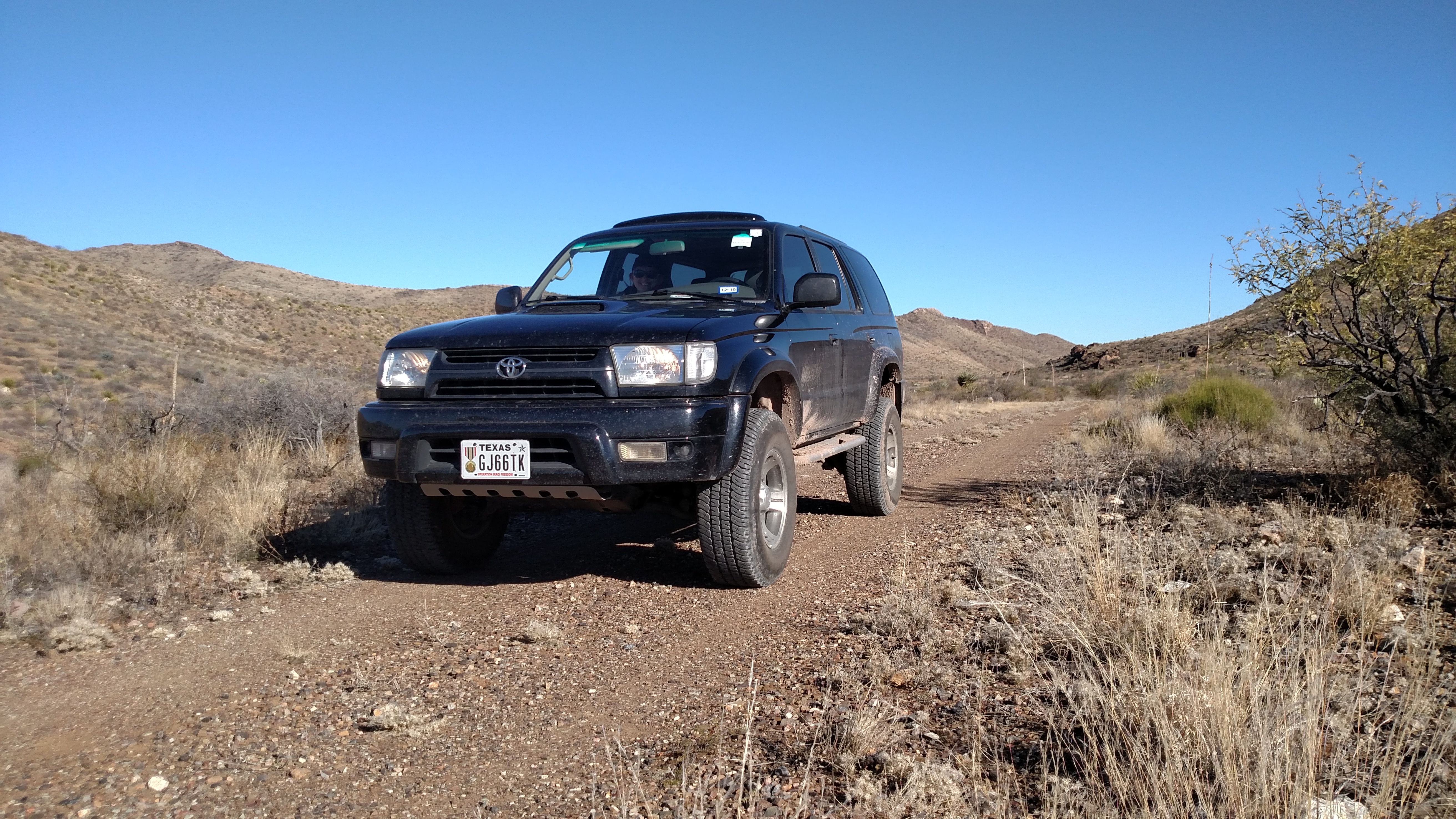
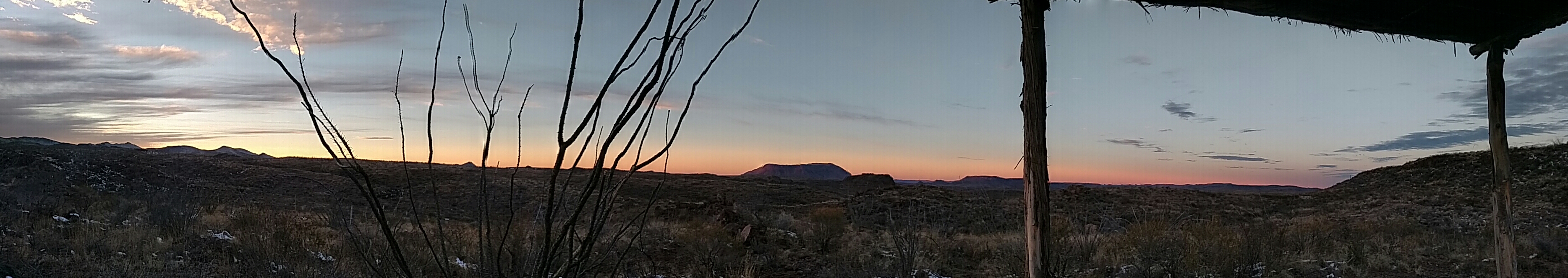
Main road driving to Sauceda/ Ranger Station
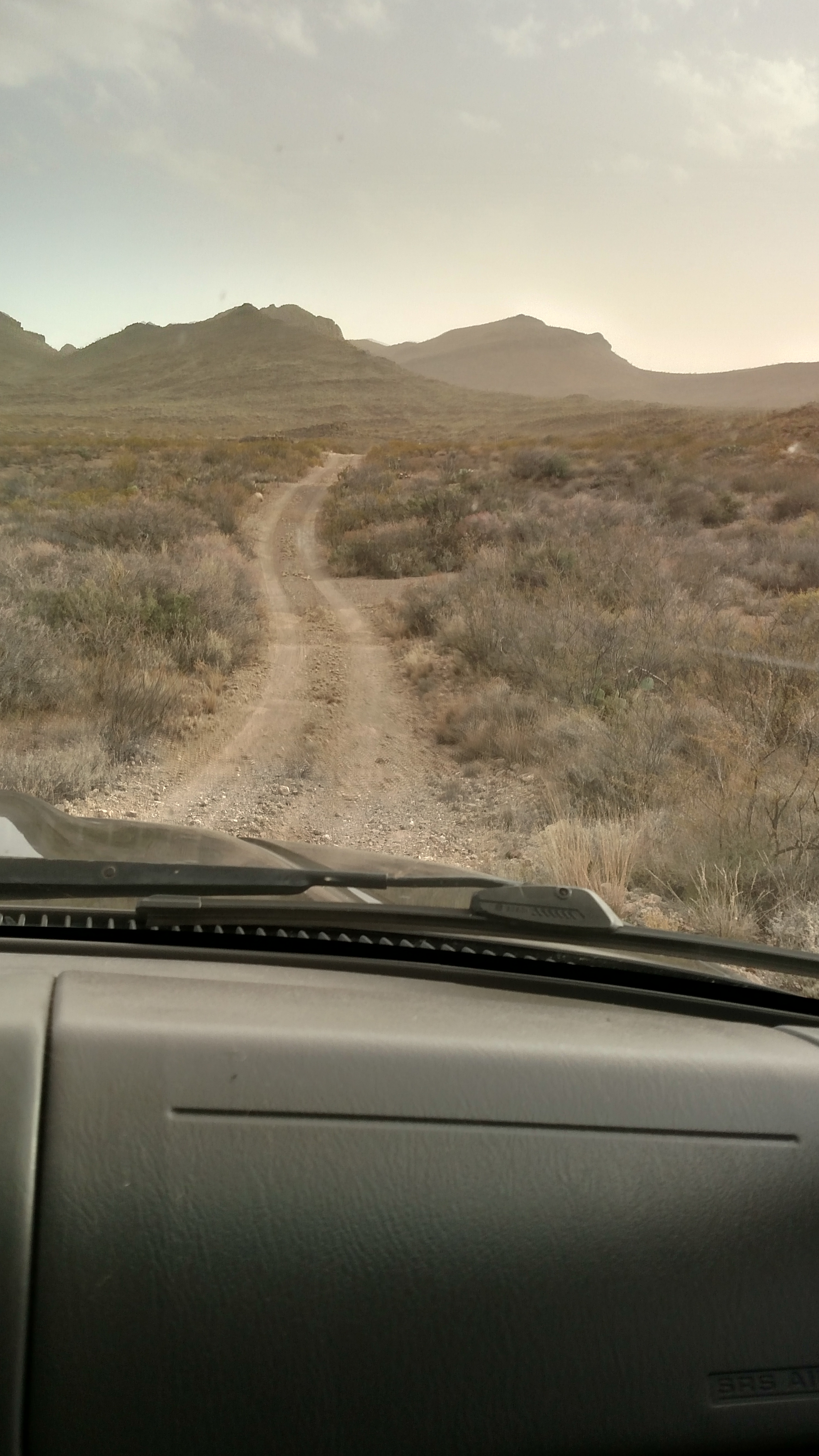
The way down Javelina Trail to Madrid Falls to our first camp site
The turn onto Madrid Falls - the main road signs are like this but in the back areas they use simple pieces of rusted metal
If we had only known this would be the last time we were this comfortable for a few days
Day 2 -
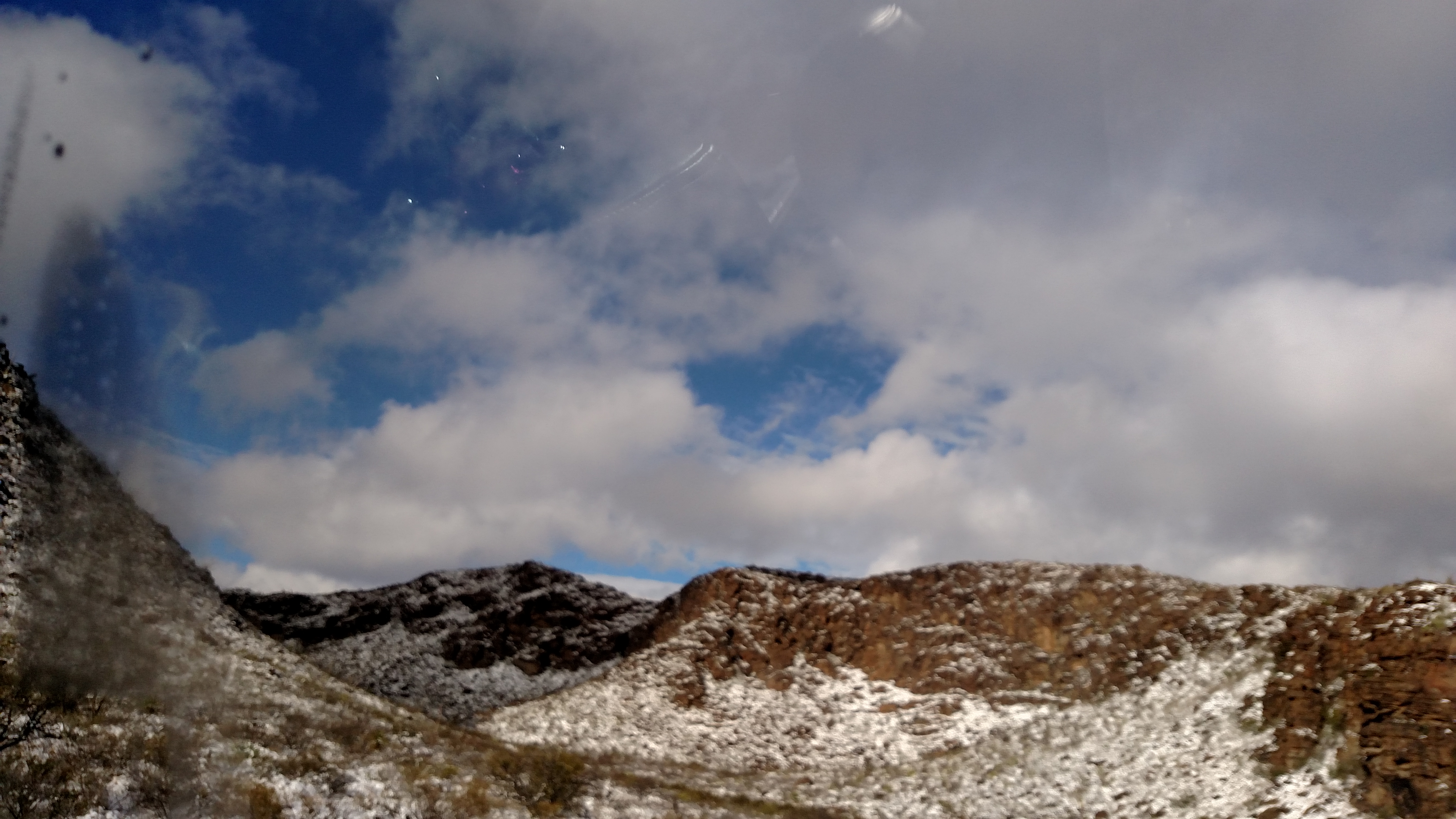
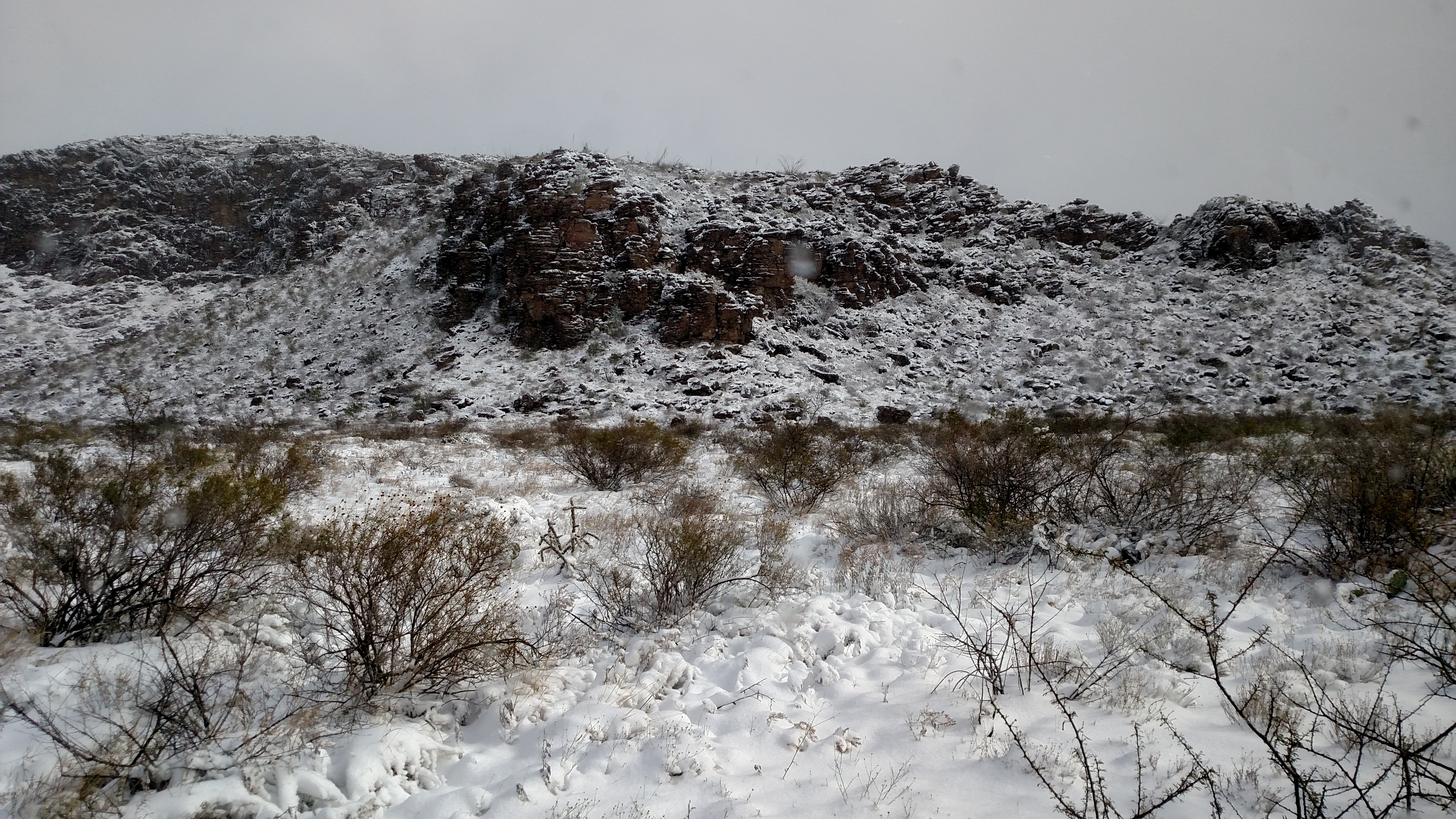
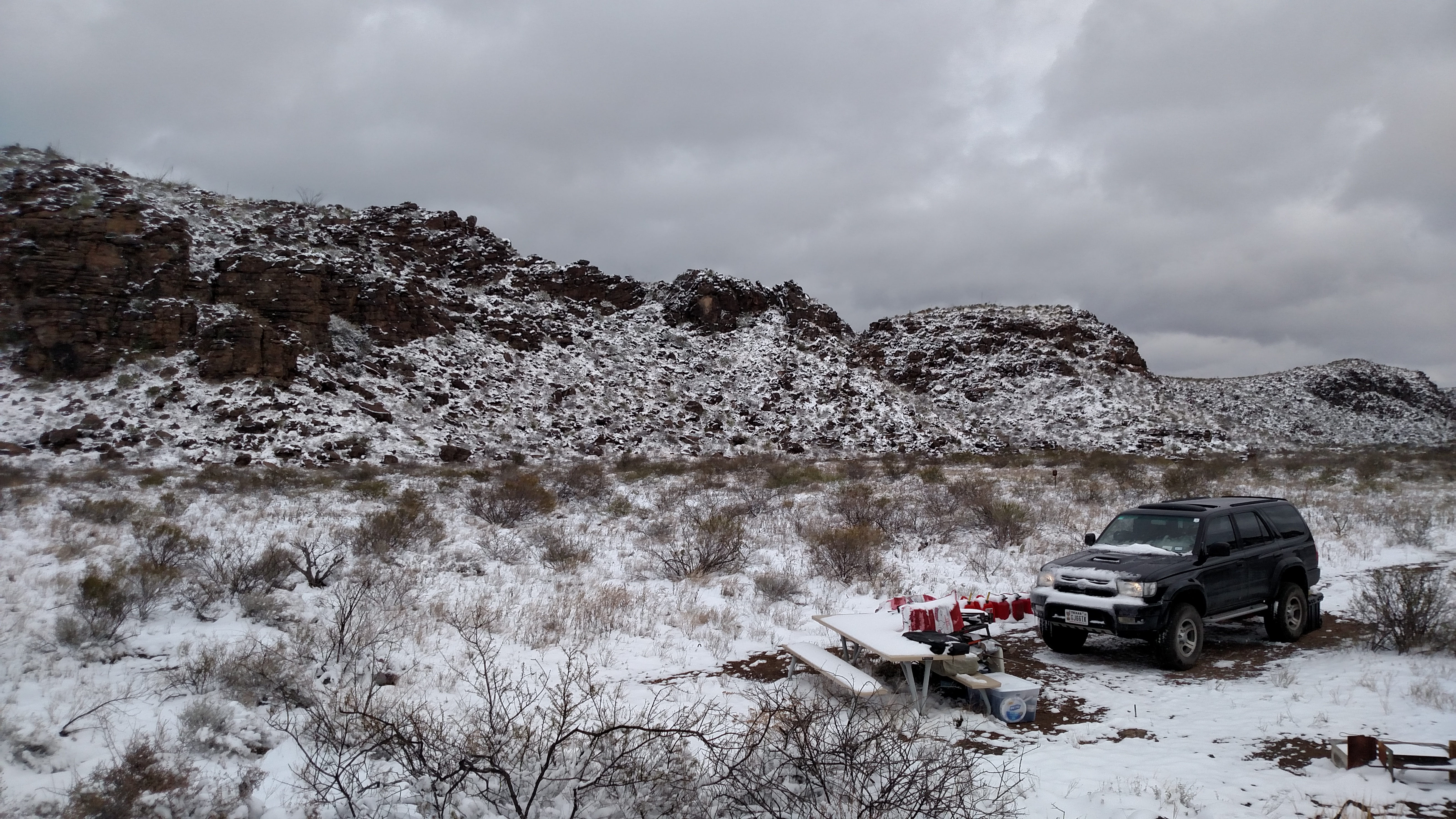
We spent this day snowed in at Mexicano 2 due to the weather. We still managed to get out and hike some but stayed close to camp due to the wind and temps. This is the day I decided to try to move closer to the Ranger Station once we could get out so we could explore easier. We received 2-4" of snow in our part of the park which made getting out pretty tough the next day; being that we were alone I opted to wait it out one more day for some sunshine on the trails.
Somebody say snow?
View of Mexicano 2 - my only real complaint was that this site does not have a pavilion. After checking a lot of the 4WD sites we found most of the 2WD sites have a pavilion and the 4WD sites do not.
Day 3 -
Once we got back to the Ranger's Station we moved camp sites to an available spot right next to the Ranger's station. Los Ojitos is only 5 mins away from the station and is easily accessiable by 2WD vehicles; yet still remote from the road as it is around a big hill. Only at night could we hear a little traffic or see the occossional headlight on the main road. This was fine considering we were minutes away from showers and actual bathrooms. This was great because it put us right on the main road for easy access to explore the whole park instead of a 30-40 min drive like Mexicana 2. When we went back to Mexicana 2 to get the rest of our camping gear we first drove out the rest of Madrid Falls Road and walked the trail to Madrid Falls. The trail was pretty quick with only a little difficulty getting down and up the first hill; but completely worth the work once we got back to the falls. The rest of the day was spent setting up camp at Los Ojitos.
Once we finally started driving out of the camp area
Video of driving out on Madrid Falls

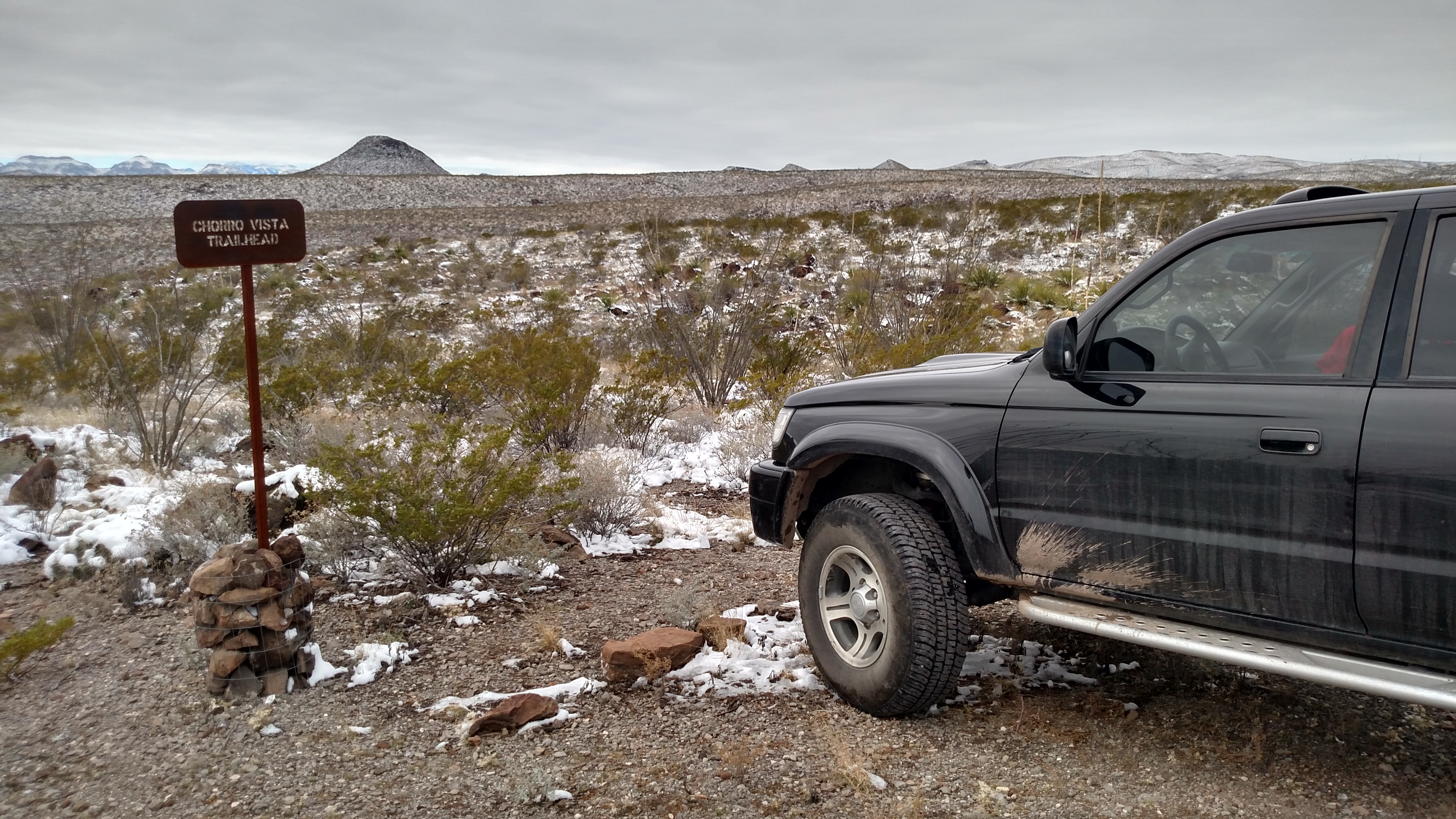
4Runner parked at the Churro Vista Trailhead to walk to Madrid Falls
Park Map link: http://tpwd.texas.gov/spdest/findadest/parks/big_bend_ranch/media/images/map/map_overview_nld.pdf
The Ranger Station at Sauceda has a much better map for ~$7 that is highly recommended for spending time out there.
Getting out there is not horrible; just plan the gas stops and remember to fill up your extra gas cans before you get there. I ended up taking 25 gallons with me for a 5 day trip ( Day 1 arrive, 4 days of exploring, Day 6 we left). I last filled up in Marfa and arrived at the Ranger's Station (on the map as Sauceda) with a half tank of gas.
Day 1 - Saturday, Dec 26, 2015
Everyone thought the blizzard was going to stall or die around I-20 so we were not overly concerned about it going to the park and then south of the Ranger's Station to camp. We chose Mexicano 2 as our camp site because our first choices were already reserved and it looked nice on website. We checked in and and hurried to the camp site to beat the bad weather coming in. The winds made it impossible to setup our ez-up tent so we abandoned it for sleeping in the back of the 4Runner. It worked to keep up sheltered and warm - but I need to get the quick release adapters for the back seat bottoms that Sam sent me a link for.
Have to include a pic of the sign
Main road driving to Sauceda/ Ranger Station
The way down Javelina Trail to Madrid Falls to our first camp site
The turn onto Madrid Falls - the main road signs are like this but in the back areas they use simple pieces of rusted metal
If we had only known this would be the last time we were this comfortable for a few days
Day 2 -
We spent this day snowed in at Mexicano 2 due to the weather. We still managed to get out and hike some but stayed close to camp due to the wind and temps. This is the day I decided to try to move closer to the Ranger Station once we could get out so we could explore easier. We received 2-4" of snow in our part of the park which made getting out pretty tough the next day; being that we were alone I opted to wait it out one more day for some sunshine on the trails.
Somebody say snow?
View of Mexicano 2 - my only real complaint was that this site does not have a pavilion. After checking a lot of the 4WD sites we found most of the 2WD sites have a pavilion and the 4WD sites do not.
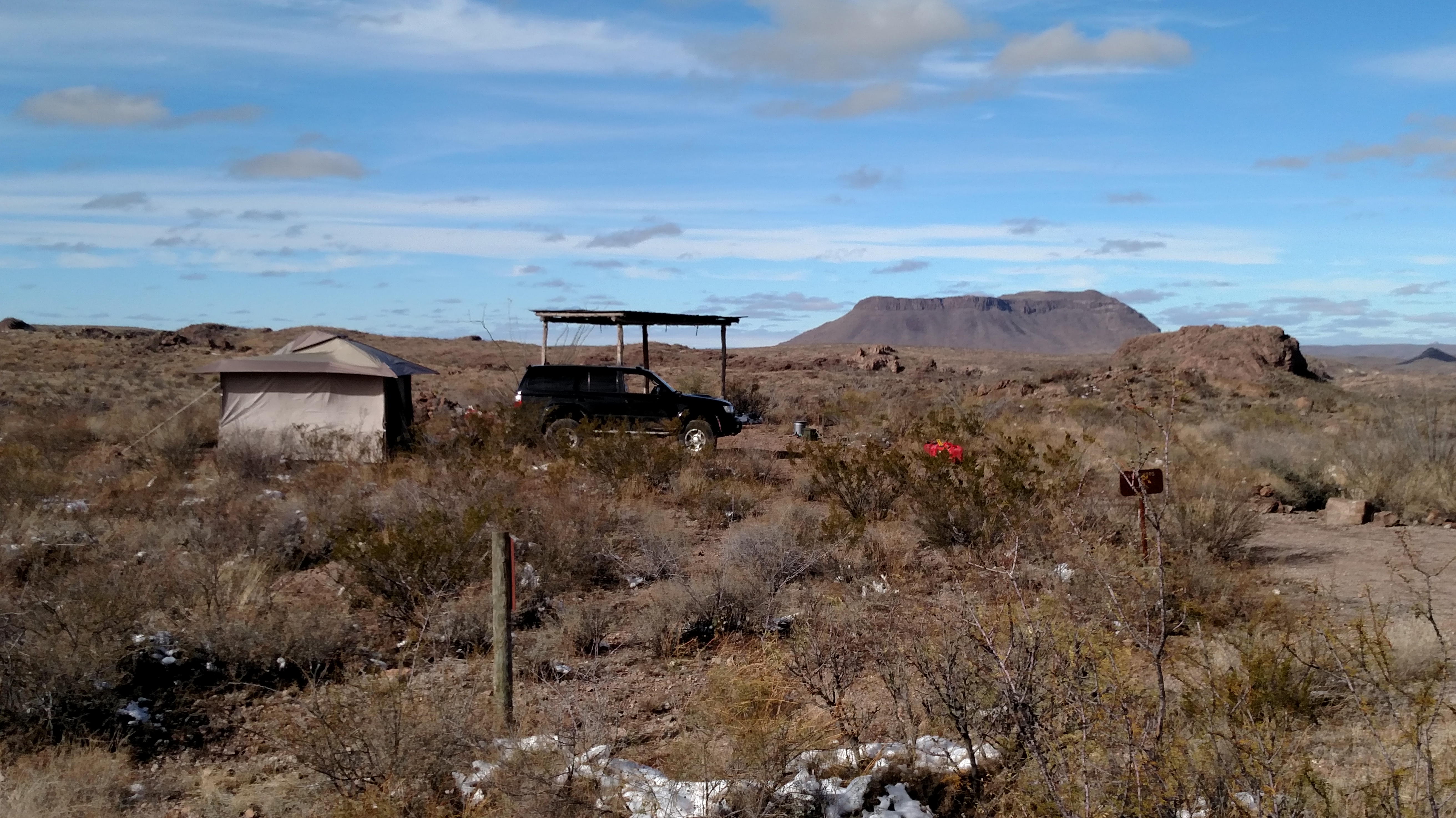
Day 3 -
Once we got back to the Ranger's Station we moved camp sites to an available spot right next to the Ranger's station. Los Ojitos is only 5 mins away from the station and is easily accessiable by 2WD vehicles; yet still remote from the road as it is around a big hill. Only at night could we hear a little traffic or see the occossional headlight on the main road. This was fine considering we were minutes away from showers and actual bathrooms. This was great because it put us right on the main road for easy access to explore the whole park instead of a 30-40 min drive like Mexicana 2. When we went back to Mexicana 2 to get the rest of our camping gear we first drove out the rest of Madrid Falls Road and walked the trail to Madrid Falls. The trail was pretty quick with only a little difficulty getting down and up the first hill; but completely worth the work once we got back to the falls. The rest of the day was spent setting up camp at Los Ojitos.
Once we finally started driving out of the camp area
Video of driving out on Madrid Falls
4Runner parked at the Churro Vista Trailhead to walk to Madrid Falls
Last edited:
Day 4 -
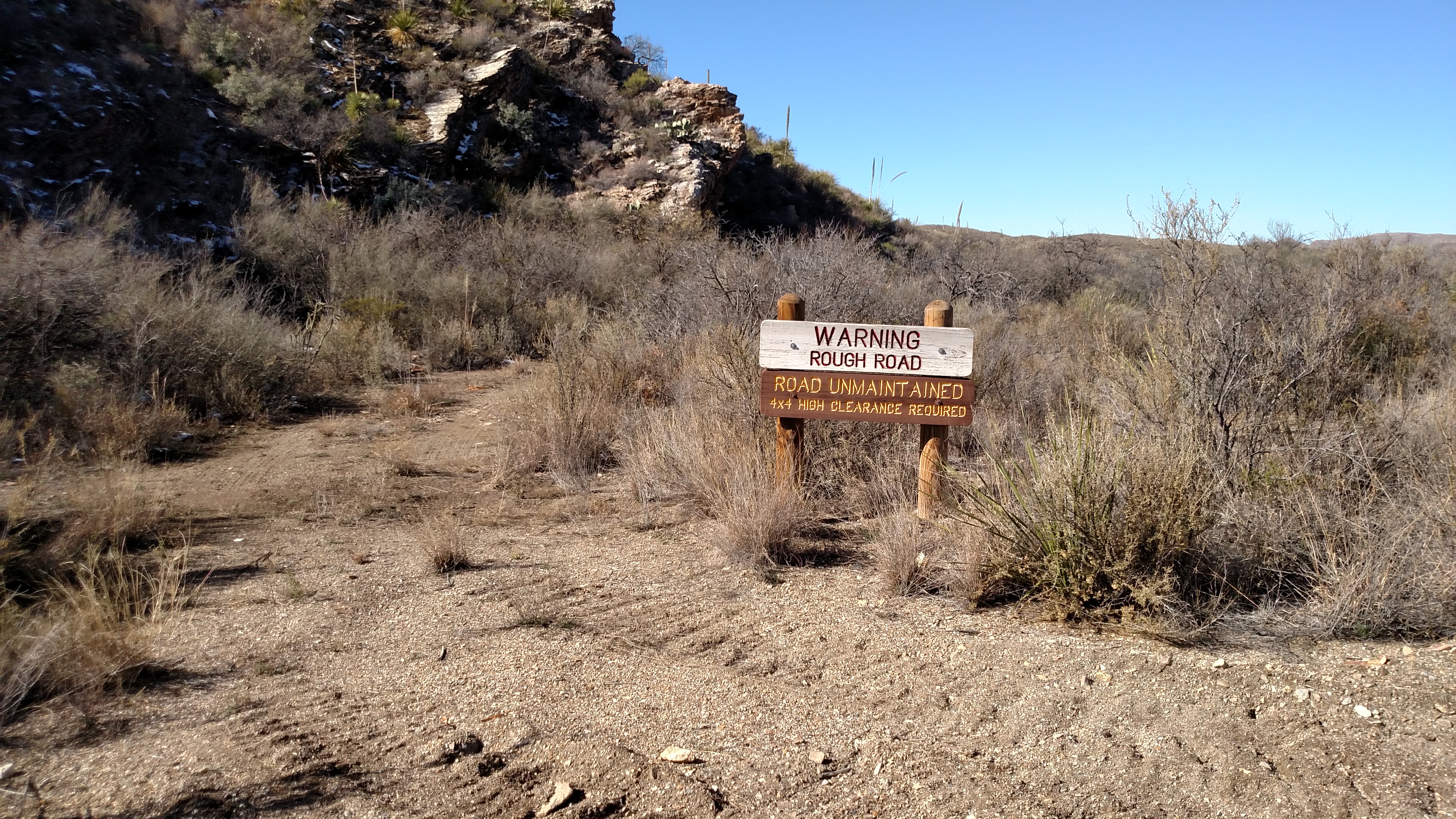
We dediced to start putting down some serious miles exploring the East side of the park. We drove the main road over to The Solitario trails going down to the Lower Shutup Trailhead first. The trail was a mix of 2WD and then 4WD but really there was only one small spot that caught my attention but it was mainly due to trying to avoid unnecessary pinstriping. There are a few unmaintained 4WD trails in this area that I would like to go back and try out at a later date with a couple of other rigs. We then covered the 2WD trail to the Burnt Camp Trailhead pretty quickly before heading back to the camp at Los Ojitos. This day with a few stops still had about 5 hours of drive time and used a full 5 gallons of gas.
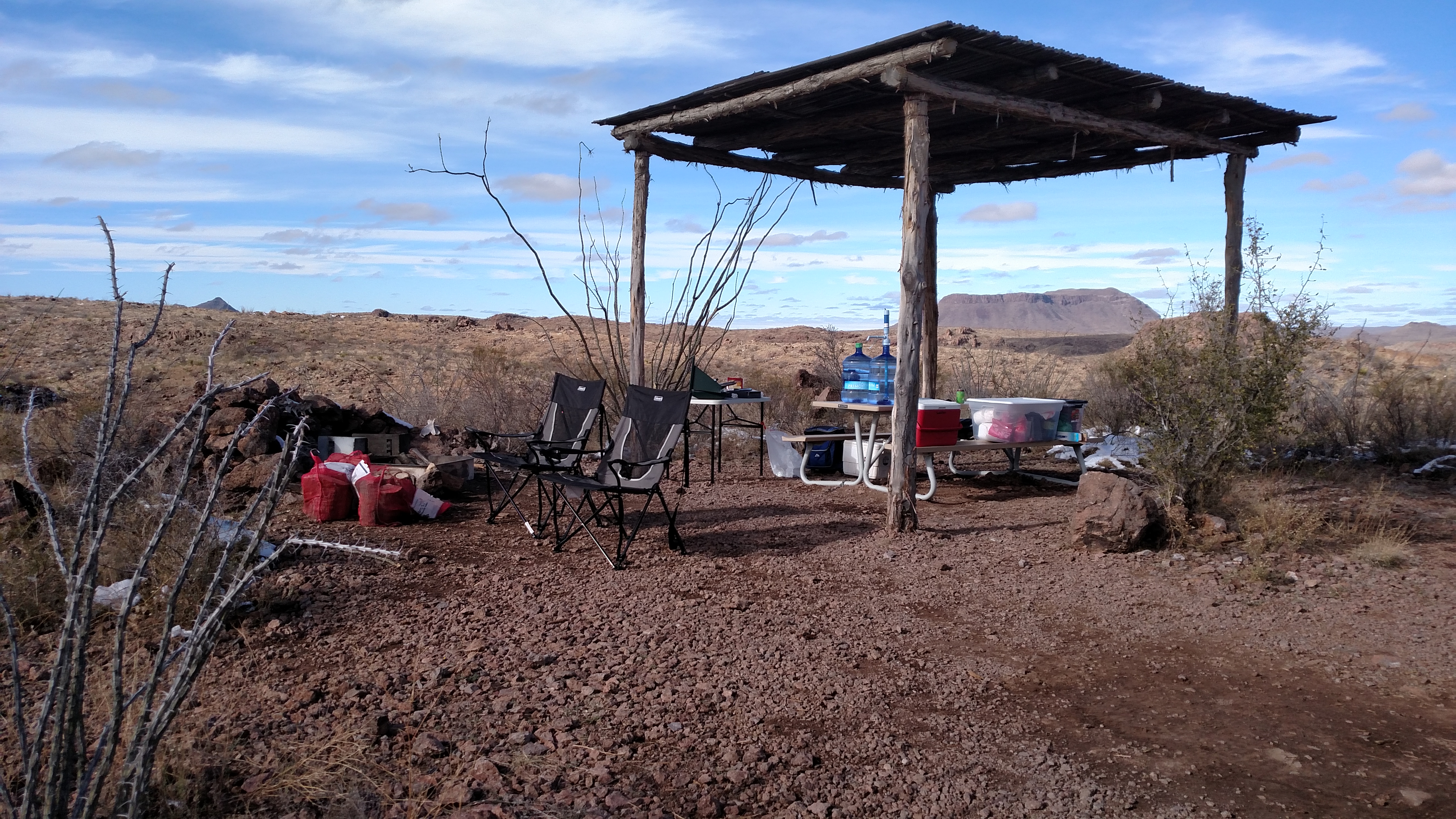
Los Ojitios - besides the lack of snow the view, pavilion, and main road access were great about this site
I really want to go back and hit a couple of these trails and then the upper Northwest corner of nothing but unmaintained trails
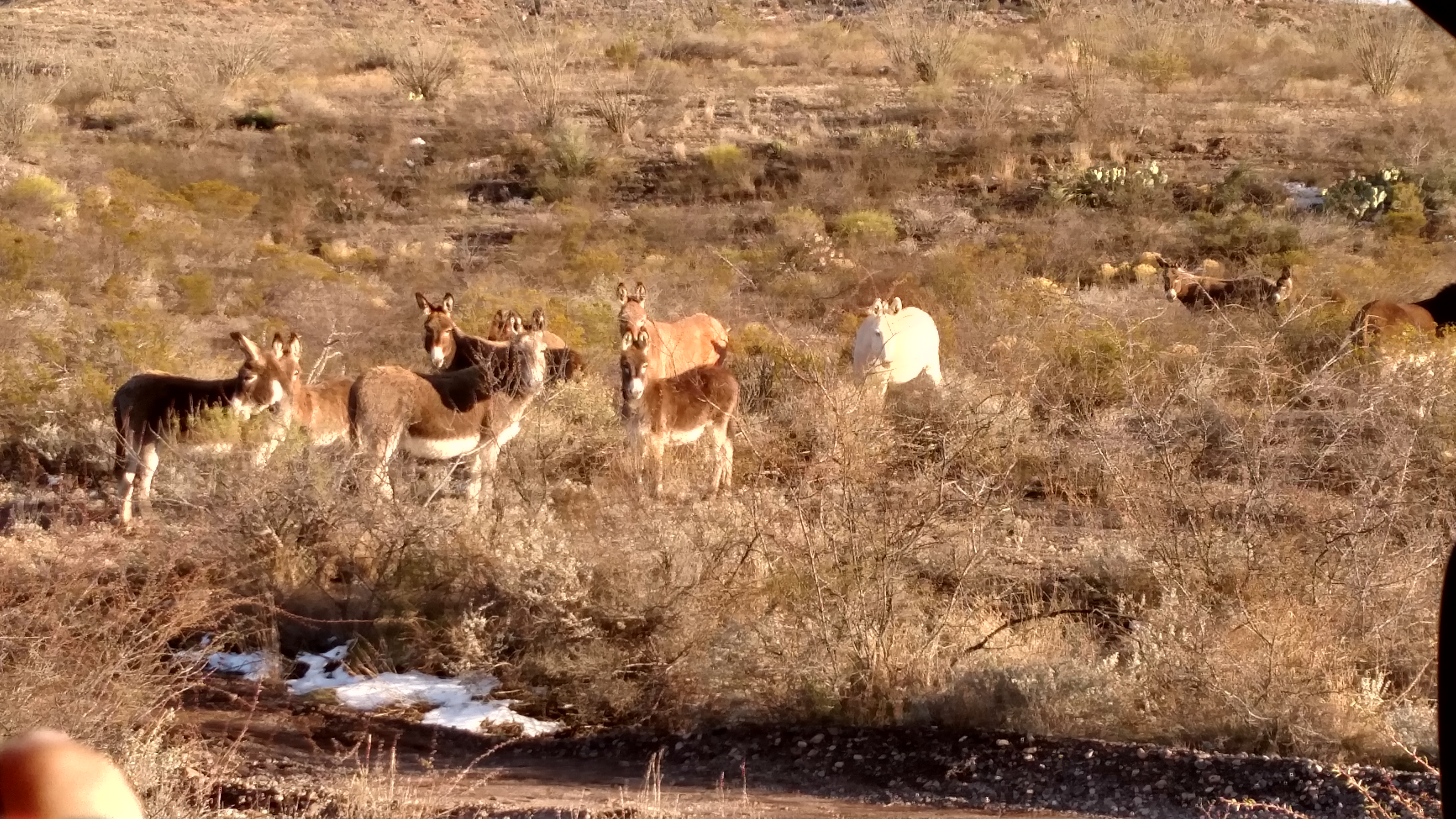
Some of the local burros that stood for a few pics; sadly the big horn ram did not
Parked on the way to the Lower Shutup Trailhead
Day 5 -
We wanted to mix it up with some hiking on this day also so we drove the Llano Loop over to the Puerta Chilicote Trailhead to hike it. The trail covered a nice variety of terrains before circling back to the trailhead. We hiked it at a decent walking pace with a lot of stops for pictures or rebuilding the stacked rock trail markers but managed to cover it in about 2.5 hours. We then went to drive the trail out to the Lo Mota campsites which is much longer than it looks due to the terrain. I did have to use 4WD once past the turn for the Leyva Trailhead to get to La Mota 2 due to some loose trail surface and lots of quick rise and drops. I probably could have done it 2WD with speed but decided to not beat up my 4Runner. We used a pretty solid 5 gallons of gas this day as well which was fine because it left me 10 gallons still to top of the gas tank to get out of Big Bend Ranch with. We spent the rest of the day breaking camp and packing what we could before bugging out early in the morning on Day 5.
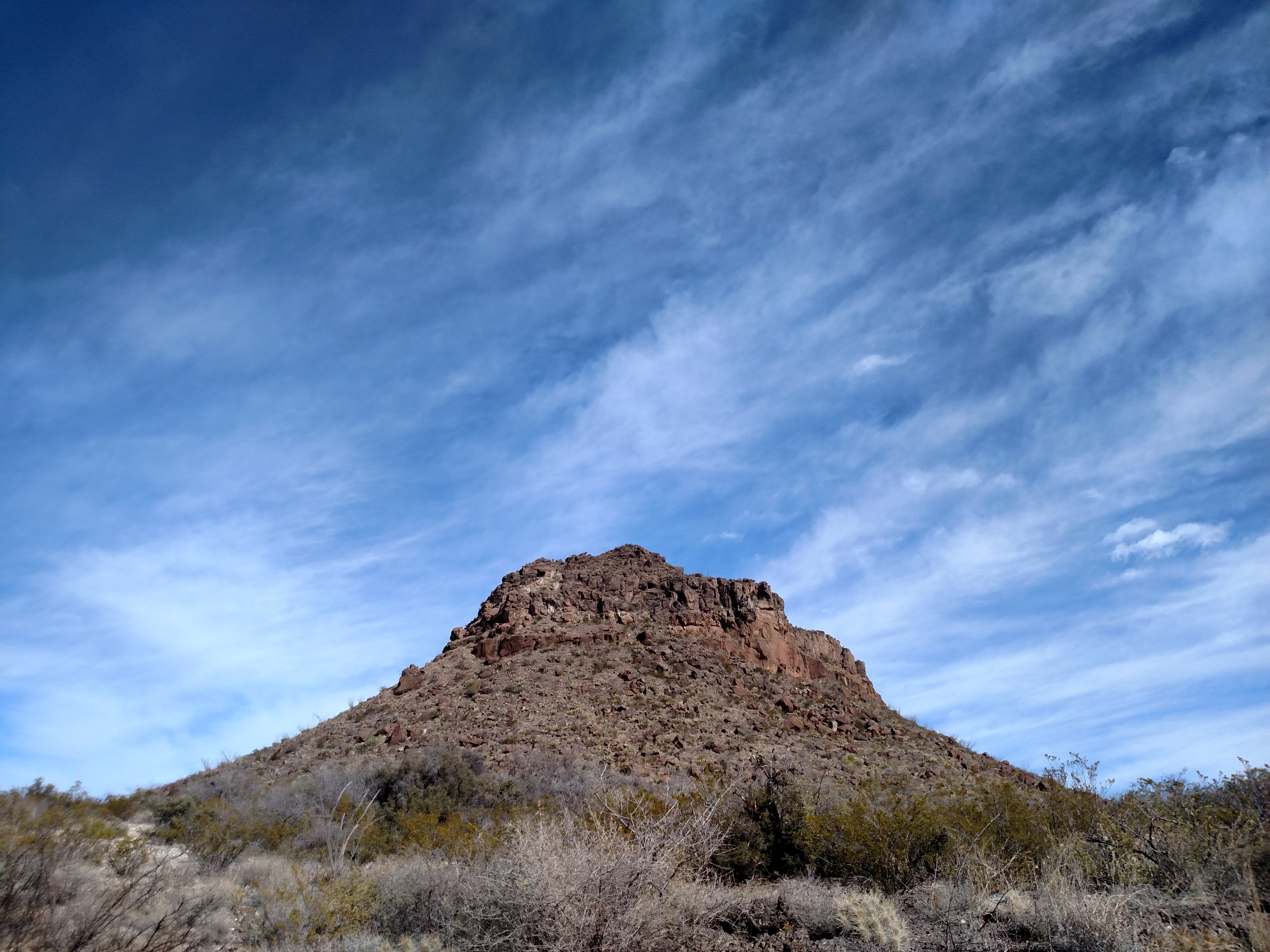
Pic of the main hill the trial we hiked goes around
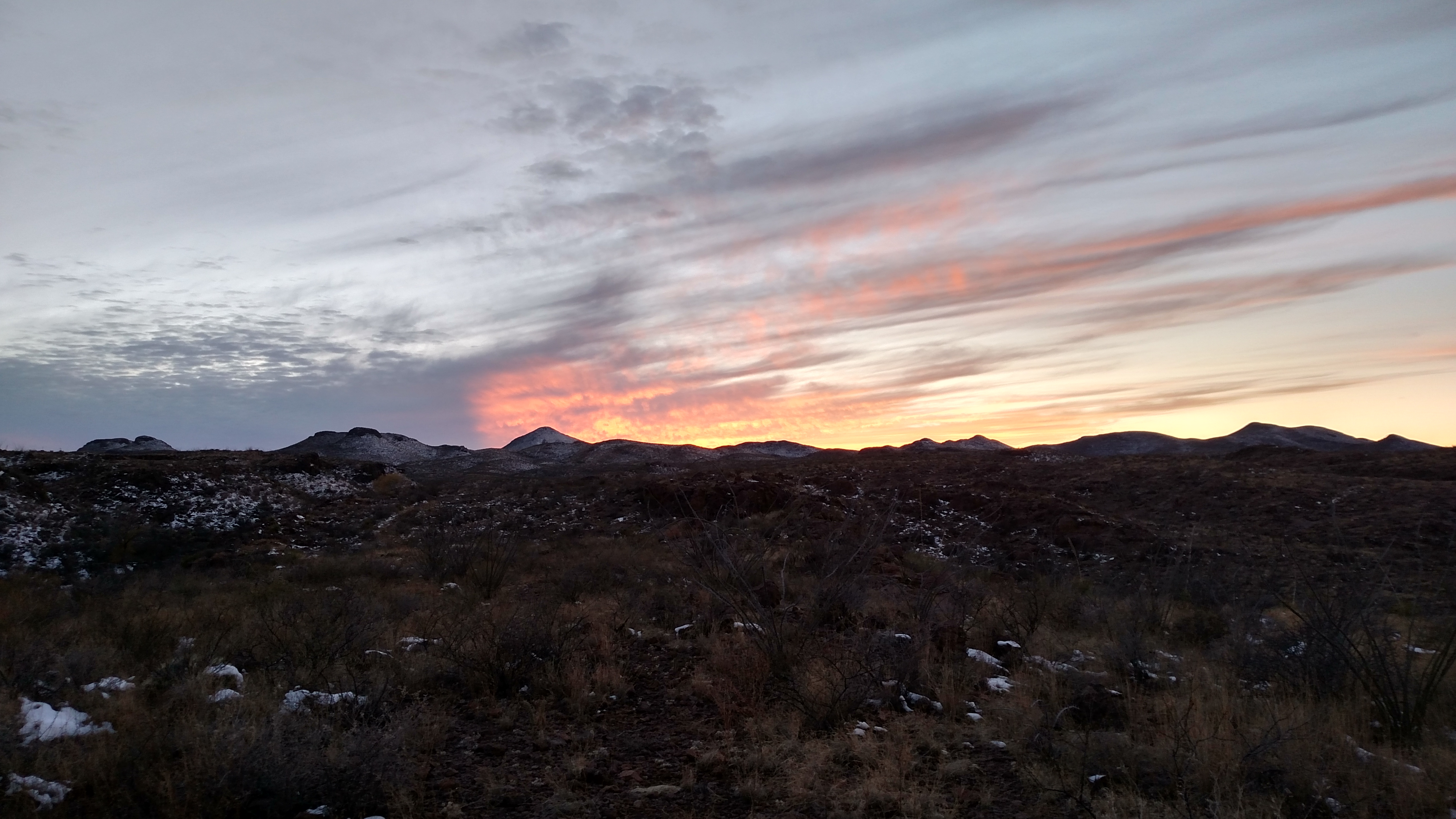
Couple of random pics
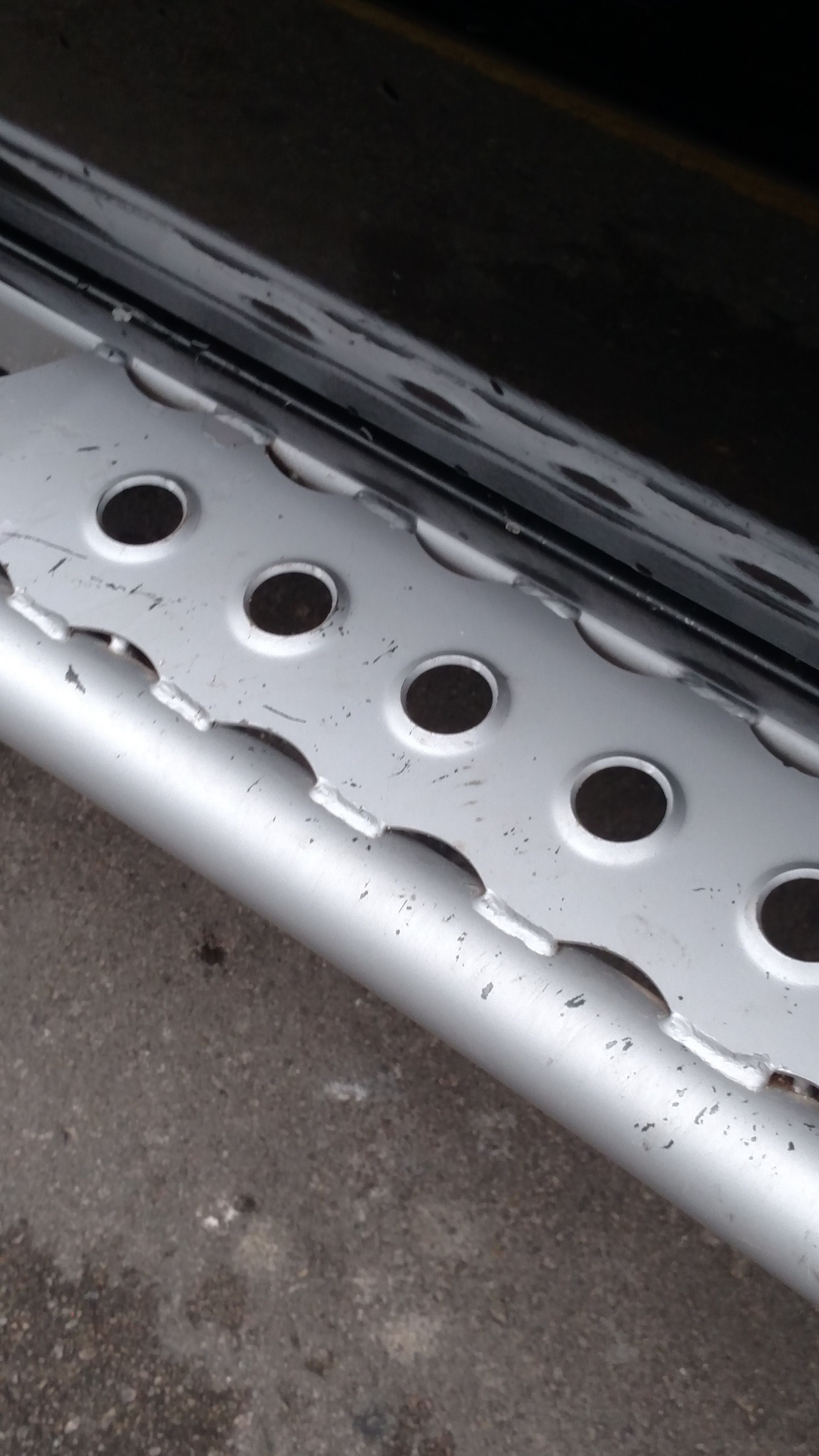
Looks like I am sending my sliders to the powder coater when I get bumpers
Overall it was a great time that we are already looking forward to doing again. I would recommend getting a campsite close to a main road, reserve it months in advance, and estimate a gallon an hour of drive time on roads at Big Bend Ranch. The bathrooms were open 24/7 and were very nice in the freezing weather for showers and toilet use.
We dediced to start putting down some serious miles exploring the East side of the park. We drove the main road over to The Solitario trails going down to the Lower Shutup Trailhead first. The trail was a mix of 2WD and then 4WD but really there was only one small spot that caught my attention but it was mainly due to trying to avoid unnecessary pinstriping. There are a few unmaintained 4WD trails in this area that I would like to go back and try out at a later date with a couple of other rigs. We then covered the 2WD trail to the Burnt Camp Trailhead pretty quickly before heading back to the camp at Los Ojitos. This day with a few stops still had about 5 hours of drive time and used a full 5 gallons of gas.
Los Ojitios - besides the lack of snow the view, pavilion, and main road access were great about this site
I really want to go back and hit a couple of these trails and then the upper Northwest corner of nothing but unmaintained trails
Some of the local burros that stood for a few pics; sadly the big horn ram did not
Parked on the way to the Lower Shutup Trailhead
Day 5 -
We wanted to mix it up with some hiking on this day also so we drove the Llano Loop over to the Puerta Chilicote Trailhead to hike it. The trail covered a nice variety of terrains before circling back to the trailhead. We hiked it at a decent walking pace with a lot of stops for pictures or rebuilding the stacked rock trail markers but managed to cover it in about 2.5 hours. We then went to drive the trail out to the Lo Mota campsites which is much longer than it looks due to the terrain. I did have to use 4WD once past the turn for the Leyva Trailhead to get to La Mota 2 due to some loose trail surface and lots of quick rise and drops. I probably could have done it 2WD with speed but decided to not beat up my 4Runner. We used a pretty solid 5 gallons of gas this day as well which was fine because it left me 10 gallons still to top of the gas tank to get out of Big Bend Ranch with. We spent the rest of the day breaking camp and packing what we could before bugging out early in the morning on Day 5.
Pic of the main hill the trial we hiked goes around
Couple of random pics
Looks like I am sending my sliders to the powder coater when I get bumpers
Overall it was a great time that we are already looking forward to doing again. I would recommend getting a campsite close to a main road, reserve it months in advance, and estimate a gallon an hour of drive time on roads at Big Bend Ranch. The bathrooms were open 24/7 and were very nice in the freezing weather for showers and toilet use.
Last edited:
TacoXpo
HOAX DENIER
The showers are even nicer when the water heater is in the 'on' position. Regarding weather like that, a Big Buddy heater is one of the best buddies you can have. We have many comfortable nights in the teens with our "smokeless, constant temperature, economical fueled, indoor fire pit," we call our Big Buddy. ")
I told my wife that if we build an off road trailer I will figure out a way to setup my tankless water heater to it for sink/shower use.
Taco Loco
Tired and Lazy, married to ‘The Laundry Fairy’
I told my wife that if we build an off road trailer I will figure out a way to setup my tankless water heater to it for sink/shower use.
just buy this and build a cabin with shower http://www.landsofamerica.com/landsconnector/capitalfarmcredit/index.cfm?INV_ID=1169092&action=propertyDetails
Oh hell I would be there in a heart beat if I could swing it.


Silverback
Lima Gulf Bravo Foxtrot Juliet Bravo
Great pics man! The truck looks great with the trailer.
Taco Loco
Tired and Lazy, married to ‘The Laundry Fairy’
Great pics man! The truck looks great with the trailer.
Thanks! just a few pics out of the 3,000+

Last edited:
Taco Loco
Tired and Lazy, married to ‘The Laundry Fairy’
Keep coming back here for pics... wtf
you probably want me to post all 3000+ photos,
 , but I'm not.